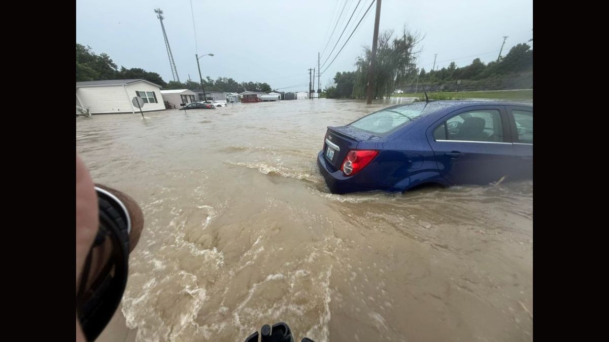
Philadelphia – Residents are being urged to stay off the roads and seek higher ground as a powerful wave of thunderstorms brings dangerous flooding conditions to the region.
The National Weather Service issued a Flash Flood Warning and a broader Flood Watch covering a wide stretch of communities on both sides of the Delaware River.
Heavy Rain Battering Philadelphia, South Jersey, and Surrounding Counties
The Flash Flood Warning, issued by the National Weather Service office in Mount Holly, covers Northern Philadelphia, Southeastern Bucks and Southeastern Montgomery counties in Pennsylvania, as well as Northwestern Burlington and Southwestern Mercer counties in New Jersey.
The warning runs until 11:30 PM EDT, with a broader Flood Watch remaining in effect through 8 PM Monday for the entire Interstate 95 corridor and areas northwest of it.
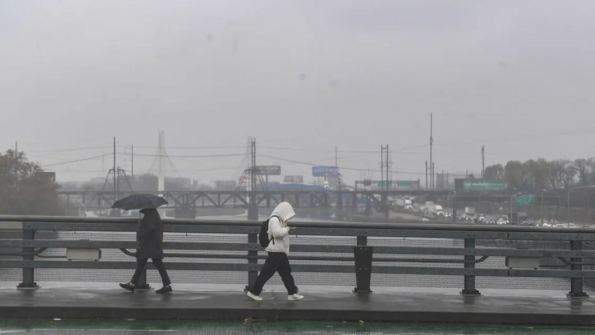
Doppler radar showed severe thunderstorms producing heavy rain across the region by early evening Sunday, with between half an inch and one inch of rain already on the ground by 7:30 PM.
Meteorologists are forecasting rainfall rates of one to two inches per hour, with additional accumulations of up to one and a half inches expected. When all is said and done, some areas could see a grand total of three to five inches of rain between Sunday evening and Monday night.
Areas at immediate risk of flooding include Philadelphia, Trenton, Bensalem, Burlington, Bristol, Hatboro, Jenkintown, Bordentown, and several other communities throughout the region. Major roadways under threat include Interstate 295 in New Jersey between mile markers 58 and 60, Interstate 95 in Pennsylvania between mile markers 30 and 40, and stretches of the Pennsylvania Turnpike. Anyone attending the St. Michael’s Fair in Levittown was advised to seek shelter immediately.
Cooler Monday Ahead, But Flash Flooding Remains the Major Concern
Beyond Sunday night, Monday is expected to bring additional rounds of heavy storms with tropical-style downpours sweeping across the area throughout the day.
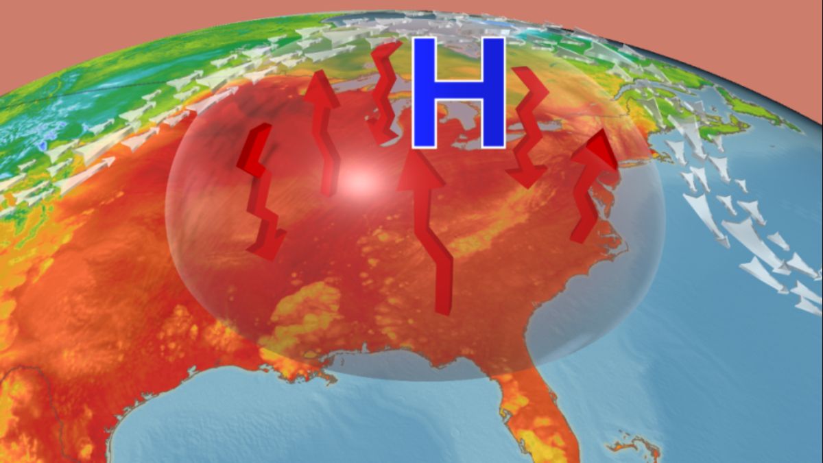
While temperatures will drop to a much cooler high of around 79 degrees compared to the brutal heat of recent days, the flooding threat will remain very real throughout Monday morning and into Monday night.
Power outages are considered possible through Sunday night and into early Monday as the storms continue moving through. Damaging wind gusts are also a primary concern, particularly from the Interstate 78 corridor south, including South Jersey and the Delmarva Peninsula.
Officials from both the National Weather Service and local emergency management are urging everyone to remember one simple rule. Turn around, do not drown. Less than two feet of moving water is enough to carry a vehicle away, and most flood-related deaths happen inside cars. For real-time updates, residents can visit weather.gov/phi or phila.gov/ready.