Heavy rain and thunderstorms have prompted a wave of flash flood warnings and watches across the country this week, with emergency officials urging residents in affected areas to stay alert and avoid driving through flooded roads.
In western Montana, showers and thunderstorms developed as a weak weather disturbance moved through the region. Some storms produced brief bursts of heavy rain, with rates reaching close to half an inch per hour.
While the heaviest downpours remained isolated, forecasters warned that storms passing over recent burn scars could create a higher risk of dangerous runoff.
A flash flood warning was issued for parts of Broadwater, Jefferson, and Lewis and Clark counties, including Helena, Townsend, and East Helena, after trained weather spotters confirmed thunderstorms were producing heavy rain in the area.
Rainfall totals of up to an inch were expected on top of what had already fallen, and flash flooding was reported to be underway.
A broader flash flood watch remained in place for the Big Belt, Bridger and Castle Mountains, covering communities such as Deep Creek Pass, Trident and Bozeman Pass. Officials pointed to the Horse Gulch burn scar as a particular concern for debris flows.
Meanwhile, a flood watch extended across the Missoula and Bitterroot valleys, Butte and Blackfoot region, and several burn scar areas from recent wildfires.
Forecasters cautioned that excessive runoff could lead to flooding of rivers, streams, and low-lying or poorly drained areas, including parts of Missoula and Butte.
Looking ahead, forecasters expect drier and warmer conditions to return by the holiday weekend, with highs climbing into the mid and upper 80s across western Montana valleys by the Fourth of July.
Central New York Also Under Flash Flood Warning
Farther east, the National Weather Service issued an updated flash flood warning for Madison, Oneida and Otsego counties in Central New York, in effect until late Wednesday night.
Radar showed thunderstorms dropping between half an inch and an inch and a half of rain over the warned area, with impacts expected to continue even though no further rain was forecast.
Communities affected included Brookfield, Springfield, Richfield Springs, Cherry Valley, and Bridgewater, among others.
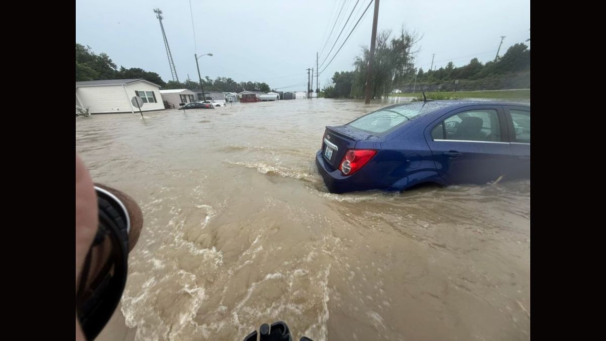
The weather service reminded drivers to turn around rather than attempt to cross flooded roads, noting that most flood-related deaths happen inside vehicles.
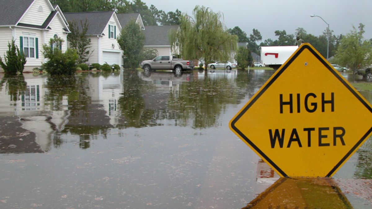
Officials also reissued general flood safety guidance for residents in both regions. Those in flood-prone areas were urged to move to higher ground quickly, follow evacuation orders when issued, and avoid basements or rooms with standing water near electrical outlets.
Drivers were reminded that just a foot of fast-moving water can sweep away most vehicles, and that pulling over safely during heavy rain is often the wisest choice.
With additional isolated storms possible through the week in parts of the northern Rockies, and rain still working through sections of the Northeast, officials in both regions asked residents to keep monitoring local alerts as conditions continue to shift heading into the holiday weekend.