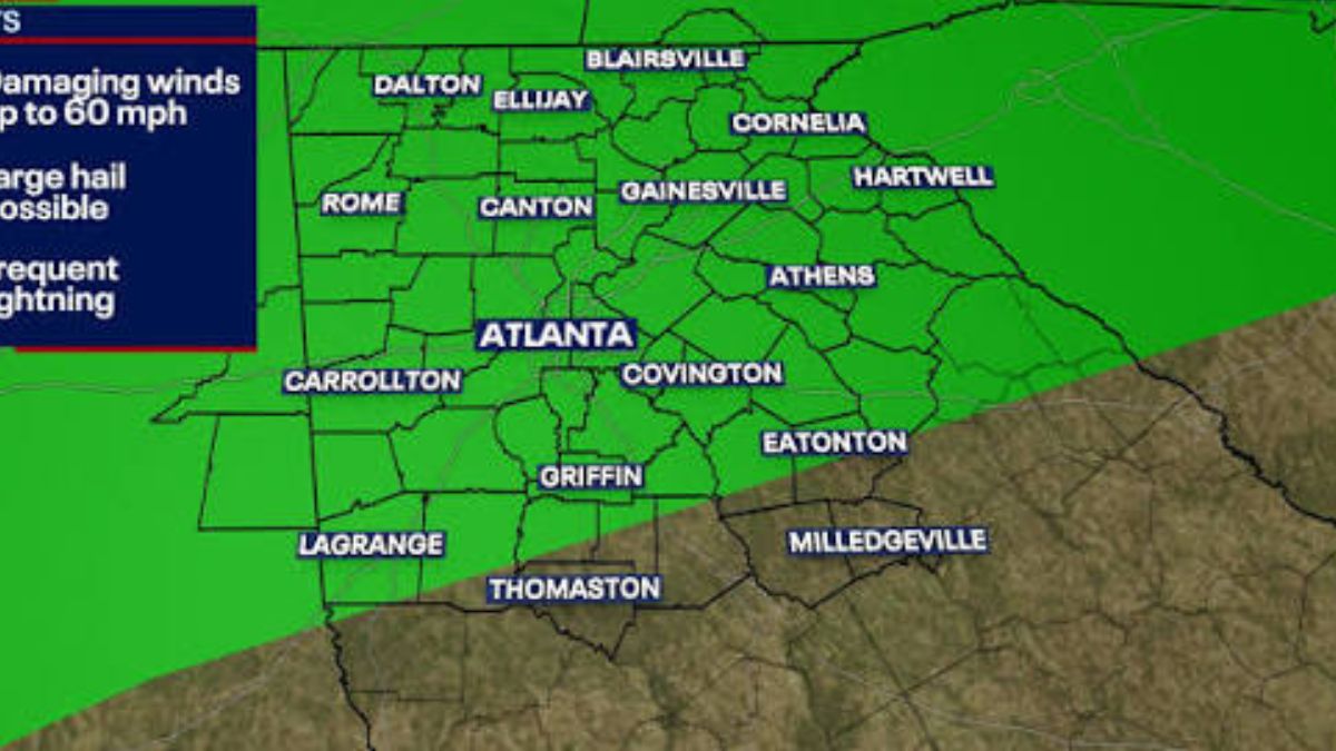
ATLANTA, GA — A severe thunderstorm watch covering more than a dozen north Georgia counties was canceled Monday night, hours after a line of storms tore through the region and brought damaging wind gusts, tornado warnings, and scattered power outages.
The watch, which had been set to remain in effect until 11 p.m. for Bartow, Chattooga, Cherokee, Dawson, Fannin, Floyd, Gilmer, Gordon, Lumpkin, Pickens, Towns, Union, and White counties, was lifted early around 9:37 p.m.
Forecasters said the atmosphere had become less favorable for severe weather, with the risk of damaging winds dropping significantly even as showers and thunderstorms continued in parts of Cherokee, Lumpkin, and White counties.
The system moved into north Georgia from Tennessee and Alabama after 7 p.m., prompting a string of severe thunderstorms and tornado warnings throughout the evening.
A tornado warning was issued for Catoosa, Walker, and Dade counties shortly after 6 p.m., followed by another for Gilmer County around 6:45 p.m.
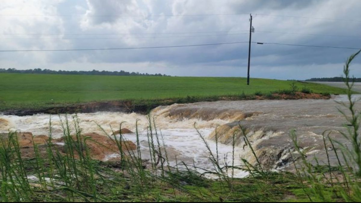
Both were later canceled, but not before the storms left damage behind. In Jasper County, downed trees were reported on Post Road near Monticello, and power outages were reported in multiple parts of north Georgia as the storms rolled through.
Gov. Brian Kemp had urged residents earlier in the day to prepare for the possibility of severe weather, posting on social media that Georgians should watch local forecasts and be ready for thunderstorms, tornadoes, and flash flooding.
Storms Also Slammed Middle Georgia Counties
The threat was not limited to north Georgia. Earlier Monday evening, the National Weather Service issued a Severe Thunderstorm Warning for parts of Macon, Peach, and Houston counties until 8 p.m.
A storm near Marshallville was tracked moving northeast at 45 mph around 7:20 p.m., with radar estimating wind gusts as high as 60 mph.
Forecasters warned the storm could damage roofs, siding, and trees in Fort Valley, Perry, Warner Robins, Centerville, and Byron, and urged residents in the path to move to an interior room on the lowest floor of their homes until the storm passed.
The severe weather arrived amid a stretch of hot, humid conditions that had been building across the region, providing extra fuel for the storms to strengthen as they pushed through Monday afternoon and evening.
Forecasters Say Risk Easing Overnight
Meteorologists said the overall severe weather threat was expected to ease overnight as the line of storms continued moving out of the area, though pockets of rain and lightning could linger into the early morning hours. Scattered showers and thunderstorms remain possible across parts of Georgia through the rest of the week, but nothing on the scale of Monday’s system is currently expected.
Officials continued to encourage residents across both north and middle Georgia to stay alert to changing conditions, keep multiple ways of receiving weather alerts on hand, and be ready to take shelter quickly if new warnings are issued. Anyone with storm damage was asked to document it with photos before making repairs, and to avoid paying contractors upfront, a common scam tactic that follows severe weather events.
No injuries had been reported as of late Monday night, though crews were expected to continue assessing damage and restoring power to affected areas into Tuesday.