Boston, MA — A punishing heat wave is bearing down on New England just in time for the Fourth of July holiday week, with forecasters warning that this could be one of the most dangerous stretches of hot weather the region has seen in years.
The National Weather Service has issued an Extreme Heat Watch covering much of the Boston area from Wednesday morning, July 2, through Saturday, July 5.
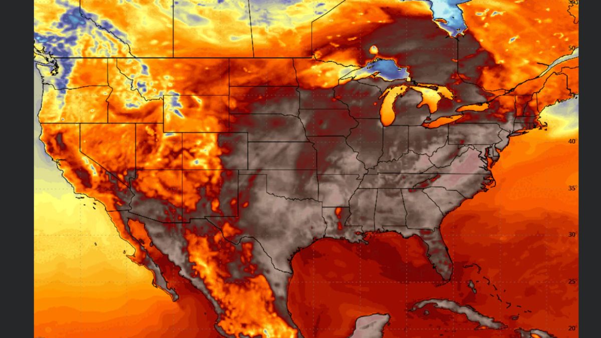
High temperatures are expected to hover between 95 and 100 degrees from Wednesday through Friday, but the real story is the humidity.
When factoring in the moisture in the air, feels-like temperatures could soar as high as 111 degrees in some Boston neighborhoods and up to 115 degrees in parts of the metro region during the peak of the heat wave on Thursday.
Thursday is shaping up to be the most dangerous day of the entire stretch. Forecast highs could reach between 95 and 105 degrees across the greater Boston area, and the heat index may push well past the 110-degree mark.
Meteorologists say Thursday also carries the best chance of setting a new daily record high for the date.
Wednesday kicks things off with highs mainly between 95 and 100 degrees for most communities outside the South Coast, Cape, and Islands. Friday follows close behind Thursday with conditions nearly as brutal, and another shot at hitting 100 degrees in and around the city.
This is not Boston’s first brush with extreme heat. The last time temperatures reached 100 degrees in the city was June 24, 2025, which marked the 28th such reading in the city’s recorded history.
The last heat wave longer than three to four consecutive days in Boston was in July 2022. Forecasters say this event could stretch as long as six days for some towns across Massachusetts, which would make it a rare and significant weather event.
The month of June 2026 is already tracking as one of the top five hottest Junes ever recorded in Boston, so this heat wave arrives on top of a summer that has already been running well above normal.
Storms and Holiday Weekend Outlook
Before the heat fully locks in, a line of showers and thunderstorms is expected to push through the region late Tuesday evening and into early Wednesday morning. Some of the rainfall could be heavy, and gusty winds are possible with stronger cells.
The storms are expected to wind down around the Wednesday morning commute, after which the heat dome takes full control.
For the Fourth of July on Saturday, highs are expected to reach the mid to upper 80s with another round of showers and thunderstorms possible late in the afternoon and evening as a cold front approaches from the north.
The entire day is not expected to be a washout, but people celebrating outdoors should remain weather aware heading into the evening hours. Sunday is expected to be dry with highs in the mid 80s, offering some relief after a grueling week.
Health officials urge residents to drink plenty of water, limit outdoor activity during peak afternoon heat, and check on elderly neighbors and those without air conditioning throughout the week.