BOSTON, Massachusetts — Severe thunderstorms swept across Massachusetts and much of New England on Thursday, June 18, prompting tornado warnings, a tornado watch, and widespread reports of downed trees and power lines throughout the state.
The National Weather Service issued tornado warnings for parts of Middlesex, Worcester, Hampden, and Hampshire counties as the storm system moved through the region.
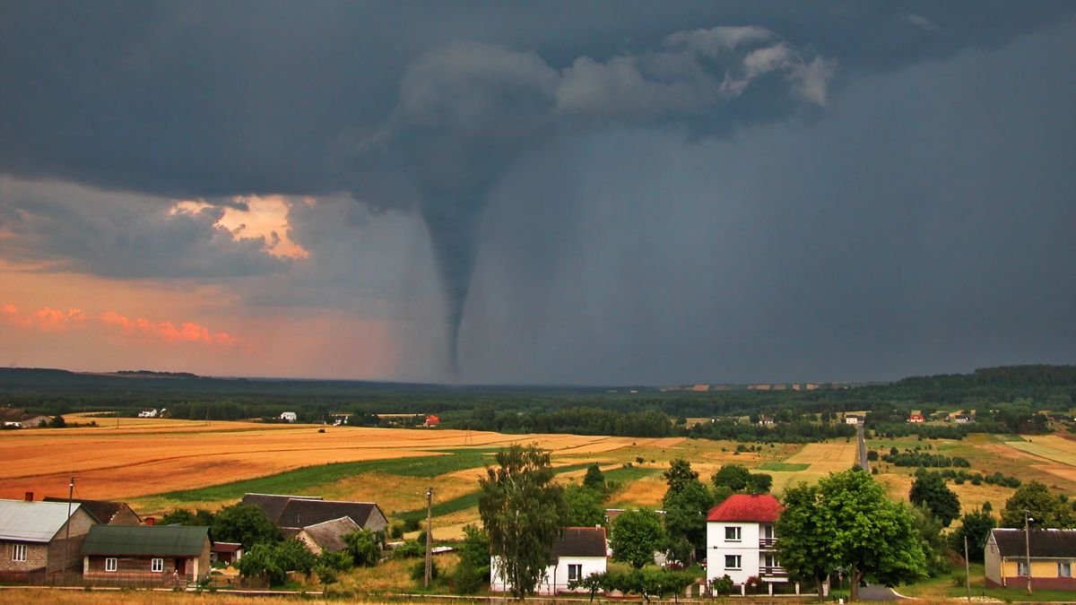
Those warnings were later lifted, but forecasters said there may have been a brief tornadic spin-up near the Paxton-Spencer line in central Massachusetts.
A tornado watch had earlier been declared for parts of western Massachusetts and Vermont before expanding to cover the rest of Massachusetts, along with Connecticut, New Hampshire, and Maine. It marked the first tornado watch issued in Massachusetts since June 2024.
By 5 p.m., the watch had been canceled for Massachusetts and Vermont, though it remained active in New Hampshire and Maine until 7 p.m. Severe thunderstorm warnings were also issued for Worcester, Middlesex, and Norfolk counties, and additional warnings covered other parts of New England before expiring later in the evening.
Meteorologists said the threat stemmed from a frontal system moving in from the west, which brought scattered morning showers followed by the potential for stronger afternoon storms.
Forecasters had cautioned that the severity of the storms would depend heavily on whether the clouds broke enough to allow some afternoon sunshine, which would add instability to the atmosphere.
With some sunshine breaking through, parts of central and eastern Massachusetts and southern New Hampshire saw rowdier storm activity than initially expected.
Trees Down, Flooding Concerns, and Wind Advisories
The storms left a trail of damage across the state. In Rutland, police reported a downed tree blocking Campbell Street near 98 Campbell Street, rendering the road impassable while crews worked to clear it. In Wellesley, a falling tree narrowly missed a passing vehicle on Weston Road, though no injuries were reported.
That road was closed between Route 9 and Beechwood Road as crews responded. On the North Shore, a small waterspout was spotted over the Ipswich River, and multiple other communities reported trees and wires down as the storms rolled through.
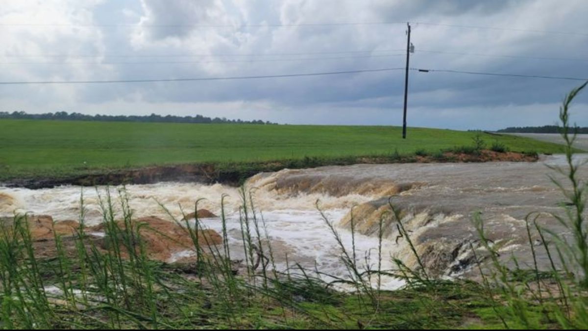
Flood watches were issued for parts of New Hampshire and Maine, lasting from midday through the evening, due to the risk of flash flooding from heavy rainfall.
Vermont was placed under a wind advisory from 8 a.m. to 8 p.m., with gusts reaching as high as 50 mph. Wind gusts of up to 40 mph were possible elsewhere across the region, even outside the heaviest rain bands.
High temperatures on Thursday reached the 70s to near 80 degrees in some areas, with overnight lows dropping into the 60s. The stormy weather marked an abrupt change after several days of clear skies and warm conditions across Greater Boston.
Conditions are expected to improve significantly heading into the holiday weekend. Sunshine was forecast to return for Juneteenth on Friday and continue into Saturday, with highs climbing into the low to mid 80s on both days, though breezy conditions were expected to persist.
A few late-day storms could develop on Father’s Day Sunday, with scattered showers possible again on Monday as the next system approaches the region.